
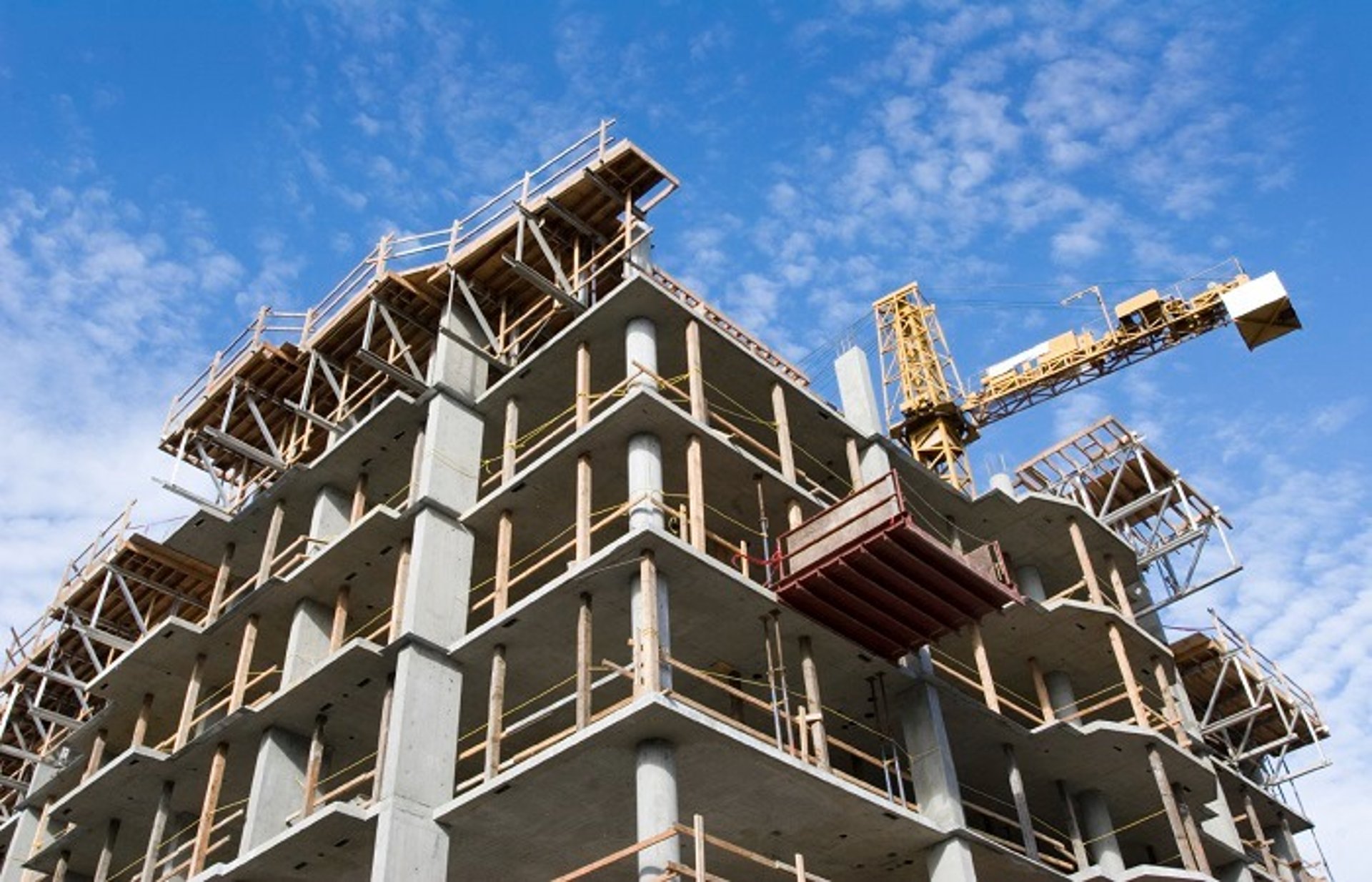
Site Scanning
Construction & Infrastructure Industry
Accelerate project timelines, minimize rework, and optimize asset management with our high-precision 3D plant scanning and laser scanning services for the construction and infrastructure sectors. Utilizing industrial-grade laser scanning technology, we capture millimeter-accurate spatial data of complex brownfield sites, civil infrastructure, transport hubs, and utility plants.
We transform dense point clouds into highly accurate, data-rich as-built BIM models that provide a definitive digital record of existing site conditions. This precise digital framework enables engineering and construction teams to execute seamless structural retrofits, plan complex utility routing, and perform virtual clash detection before breaking ground. Eliminate the risks of outdated documentation, streamline stakeholder collaboration, and reduce costly field modifications with our comprehensive infrastructure scanning solutions.
Drone Survey
Accelerate project timelines and optimize site management with our high-precision drone surveying and aerial 3D scanning services. Utilizing advanced UAV mapping equipped with high-resolution photogrammetry and airborne LiDAR sensors, we capture millimeter-accurate spatial data over expansive or inaccessible construction sites and civil infrastructure.
We transform aerial data into accurate 3D topographic maps, digital elevation models, and precise volumetric calculations for earthwork analysis. This actionable intelligence enables engineering and contracting teams to seamlessly track progress, execute site planning, and monitor structural integrity. Eliminate manual surveying bottlenecks, enhance on-site safety, and streamline project lifecycles with our commercial drone mapping solutions.
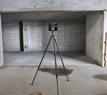
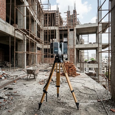
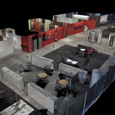
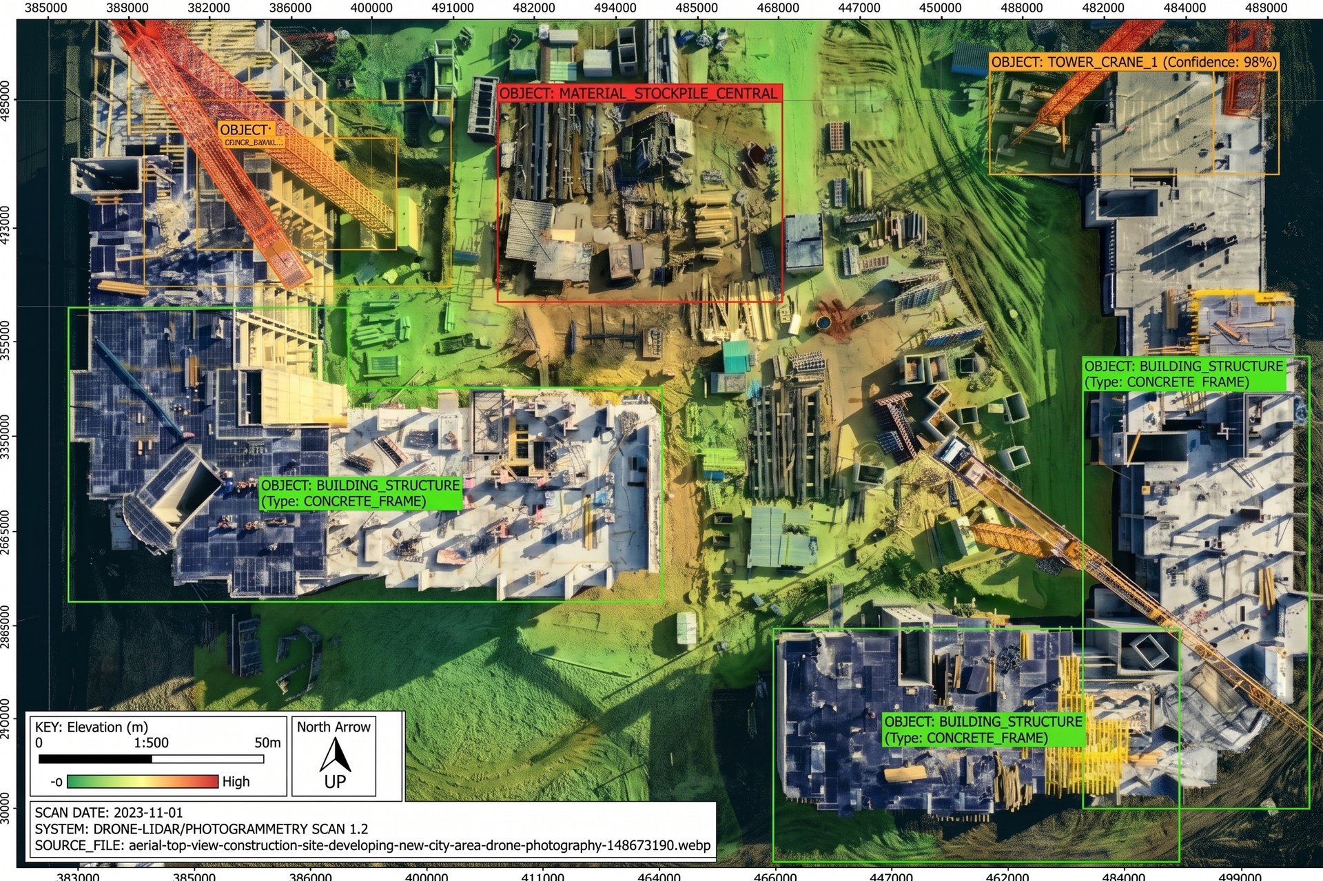
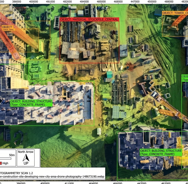
* Image for representational purposes only. Actual component designs and data are withheld to protect client confidentiality.
Gallery
As-built Docs
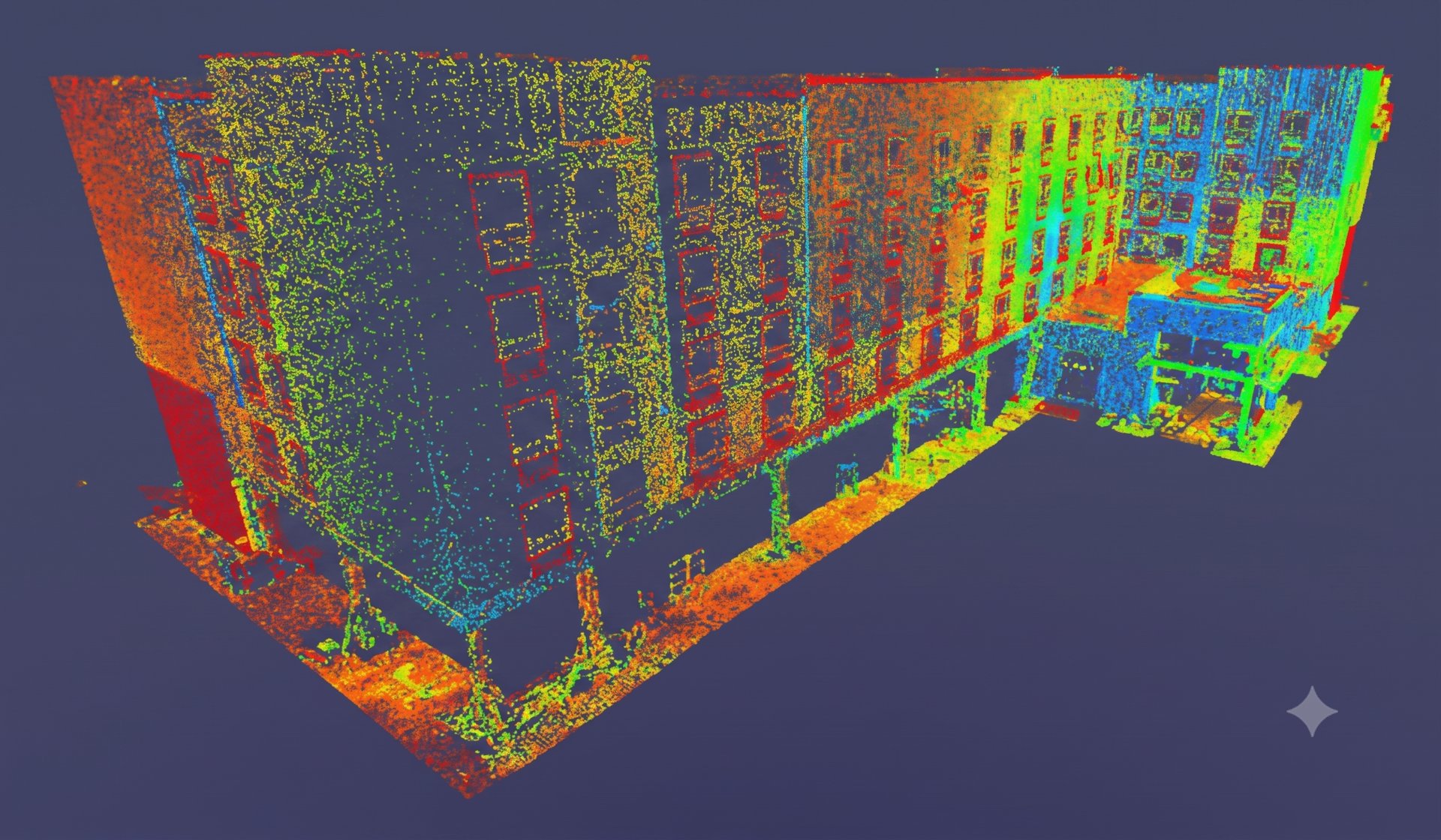
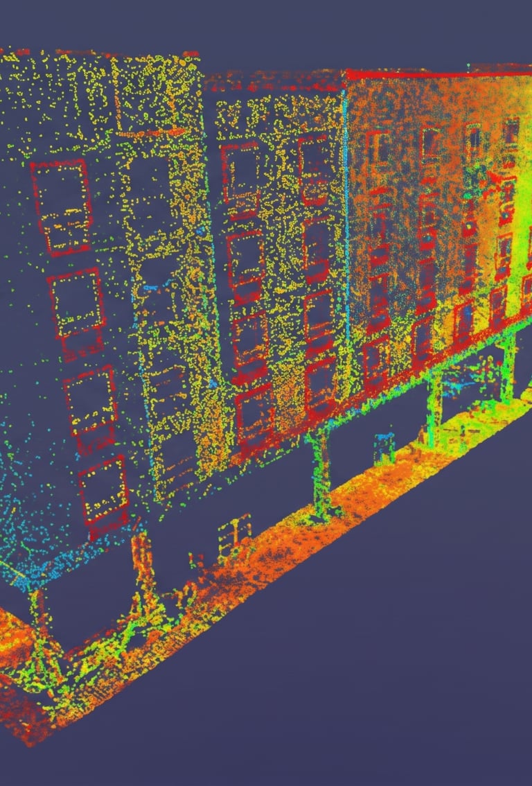
Minimize project risks, eliminate design errors, and streamline asset lifecycle management with our high-precision as-built 3D scanning and Building Information Modeling (BIM) documentation services. Utilizing advanced laser scanning technology, we capture millimeter-accurate spatial data of existing civil infrastructure, transport hubs, commercial developments, and complex utility networks.
We convert dense point-cloud data into intelligent, data-rich as-built BIM models (LOD 200 to LOD 500) that serve as a single source of truth for your project. This precise digital framework enables engineering and contracting teams to execute seamless structural retrofits, plan complex utility routing, and perform virtual clash detection before construction begins. Reduce costly field reworks, enhance multi-disciplinary collaboration, and maintain an audit-ready digital replica of your infrastructure assets.

Request Technical Consultation
Connect directly with our engineering team to review your tolerances, scanning requirements, and parametric CAD deliverables.